Oregon Water OnlineSnowpack, climate & forecastsEnergy & hydropower
Despite dryness, forecast shows runoff at 93 percent
Restored from Oregon Water Online, the 2009–2016 news blog, as captured on March 31, 2016. The text is kept as published; many items were reposts of regional news, and their source line is kept at the end. Dead links and contact details have been removed.
The National Weather Service’s Northwest River Forecast Center has released an early season forecast that says, despite a relatively dry start to the winter season, runoff flushing down through the Columbia-Snake river from January-July would most likely be 93 percent of normal as measured at The Dalles Dam.
The forecast was based on precipitation, soil moisture, runoff and other data. It includes the most recent 10-day weather forecast, which includes predictions of relatively plentiful precipitation in the near term across much of the basin.
Summer 2013 ended with a splash– precipitation in September was 130 percent of the 1981-2010 average across much of the basin.
But the trend was reversed during the first quarter of the new water year (October-December). Precipitation in the Snake River basin upstream of southeast Washington’s Ice Harbor Dam was only 42 percent of average from Oct. 1-Jan. 4.
Through that point last year the precipitation received above Ice Harbor was 128 percent of the 30-year average, but a dry late winter and spring left the upper Snake at 80 percent of average precipitation for 2013.
Precipitation upstream of central Washington’s Grand Coulee Dam on the mid-Columbia was 63 percent of average through Jan. 4, while the total at The Dalles was 49 percent of average.
The Dalles on the lower Columbia passes water from the mid and upper Columbia as well as from the Snake River basin.
“We’re looking at a much different picture this year, with much drier conditions than last year,” according to the NWRFC’s Kevin Berghoff.
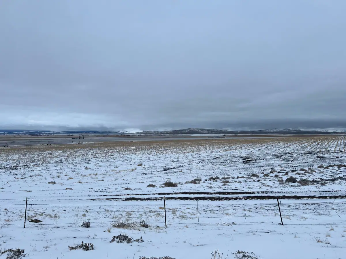
Snow conditions are, with a few exceptions, well below average for this time of year.
Natural Resources Conservation Service “SNOTEL” electronic measuring sites indicate that the Kootenai River basin within Montana has about 93 percent of its average snowpack through Jan. 7, while the Flathead River and upper Clark Fork basins nearby are at 114 and 107 percent of average respectively.
But the lower Clark Fork, Bitterroot and Idaho Panhandle regions have 85 percent or less than their “normal” or average snow-water equivalent for this time of year.
The upper Snake River basin upstream of south-central Idaho’s Palisades Reservoir has a snowpack snow-water equivalent at 96 percent of average through Jan. 7.
But elsewhere in the Snake River basin snowpack totals are closer to 50 percent of average. The Clearwater-Salmon river drainage of central Idaho has SWE at 76 percent of normal through Jan. 7.
Lower Columbia river snowpacks are “pretty low for this time of year,” according to the Berghoff. As an example the Deschutes-John Day basins of north-central Oregon have snowpacks at 34 percent of normal as of Jan. 7.
Runoff forecasts, which are produced on almost a daily basis by the NWRFC, have been slipping throughout the fall and early winter. But tide has turned slightly with relatively moist 10-day forecasts issued in recent days.
The January-July runoff forecast for the Kootenai River drainage, as measured at Libby Dam, stood at 100 percent of average as of Jan. 7, according to the NWRFC, while the South Fork of the Flathead forecast was 96 percent for the period.
The Kootenai flows south out of British Columbia, across northwest Montana and the Idaho panhandle before returning to Canada and merging with the Columbia River. The South Fork tumbles down from the Rockies and also merges into the Columbia system.
The Jan. 8 forecast predicts that runoff past Grand Coulee Dam on the mid-Columbia will be 95 percent of average this year. Grand Coulee passes water from the upper Columbia in British Columbia, Montana and Idaho.
The Snake River flow as measured at Lower Granite Dam is expected to be about 90 percent of average for the January-July period, according to the Jan. 8 forecast.
Lower Granite is the fourth dam salmon and steelhead migrants must pass on their way upriver to hatcheries and spawning grounds in Idaho and northeast Oregon and southeast Washington. The Snake River joins the Columbia in southeast Washington.
The forecast for the North Fork of the Clearwater River, as measured at Dworshak Dam, is for 103 percent of average runoff. The North Fork flows into the mainstem Clearwater, which joins the Snake just above the head of Lower Granite’s reservoir.