Oregon Water OnlineSnowpack, climate & forecastsIrrigation & farms
NW moisture gives ‘snow-water equivalent’ big boost
Restored from Oregon Water Online, the 2009–2016 news blog, as captured on May 28, 2014. The text is kept as published; many items were reposts of regional news, and their source line is kept at the end. Dead links and contact details have been removed.
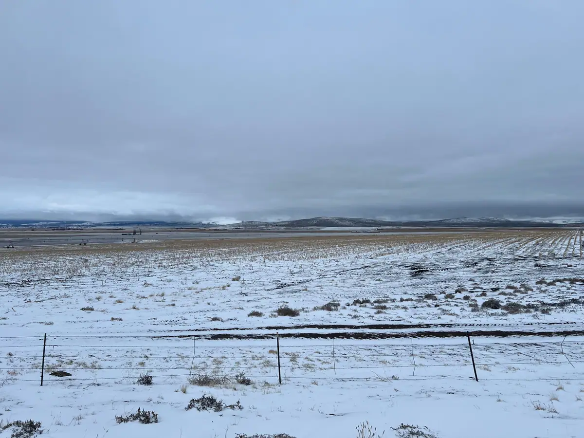
Water supply forecasts, ski hill snow totals and backcountry snowpack have nudged up over the past week with sudden downpourings, after what has been a slow start to the wintertime water accumulation period.
Jet streams off the Pacific Ocean have assumed a more common winter pattern, bringing moisture to the region.
The NOAA Weather Service’s Northwest River Forecast Center has predicted that runoff past The Dalles Dam on would be 86 percent of the 30-year average (1971-2000) from April through September in 2012.
The average is 98.65 million acre feet; the NWRFC “ensemble” forecast issued Jan. 9 – based on light snowpack, particularly in the southern parts of the Columbia/Snake river basin in Oregon and Idaho — predicted runoff would be 84.71 MAF.
But after several days of precipitation across much of the region, and a forecast of more to come, that forecast has jumped to 92 percent of average, or about 90.97 MAF, according to a water supply forecast issued by the NWRFC. The April-September runoff past The Dalles includes water streaming down from the Snake River basin and the upper Columbia.
Snowpack totals have ticked up considerably over the past week. SNOTEL automated monitoring stations operated by the National Resources Conservation Service in central Idaho’s Clearwater and Salmon river drainages had an average “snow/water equivalent” of 82 percent of average on Jan. 20.
The average for northeast Oregon’s Grande Ronde, Burnt, Powder and Imnaha river drainages jumped from 54 to 70 percent of average.
The snowpacks feeding the Malheur and Owyhee rivers, which drain into the Snake at the Idaho-Oregon border, jumped from 26 percent of average snow-water equivalent to a somewhat less dismal 49 percent.
In south-central Idaho, the snowpack above Palisades Reservoir on the upper Snake increased from 63 percent of average snow-water equivalent to 79 percent.
In the north part of the Columbia River basin snow totals mounted as well. The Kootenai River basin in northwest Montana jumped from 83 percent of average to 88 percent; Montana’s Flathead River basin eased up from 68 percent of average to 76 percent.
In central Washington, the Yakima/Ahtanum basins saw s/w equivalents increase from 80 percent of normal of 90 percent thanks to recent precipitation.
The best-stocked are the northernmost portions of the Columbia River basin in British Columbia. The NWRFC’s runoff forecast into Mica Dam’s reservoir is 111 percent of average. Downstream, Revelstoke Dam is expected to pass 108 percent of its average runoff for the April-September period, according to the latest NWRFC forecast.
Meanwhile, the relentless storm battering west of the Cascades is creating havoc and threatening records – and more rain appears on the horizon.