Water, farms and power in northeastern Oregon, from the pages of Oregon Water Online and the coalition’s website
About
About this archive
This site is an independent archive of the former oregonwatercoalition.org website. It is not affiliated with the Oregon Water Coalition. For current information about the coalition, contact the organisation directly.
The Oregon Water Coalition was incorporated in 1992 by irrigators, irrigation districts and businesses in northeastern Oregon, centred on Hermiston and the Umatilla and Morrow county farm belt. Its website went through three versions. From 2007 a WordPress.com blog, Oregon Water Online, reposted regional water news. From 2009 the blog lived at /blog/ beside a static coalition site with membership pages and a monthly member newsletter. From 2017 to 2023 a Squarespace site carried fact sheets, legislative tracking for Oregon, Washington and Idaho, a town hall calendar and the president’s yearly letters. After that the address stopped serving the site.
What was restored
109 Oregon Water Online reports, each on its original address (dated 2007–2009 paths or /blog/ paths).
17 coalition news posts and 21 town hall event listings from the 2017–2023 site.
The coalition’s pages: who we were, projects, fact sheets, the Umatilla 2050 Plan, the HB 3111 process, legislation trackers, the Eastern Snake Plain Aquifer and LUBGWMA pages, grant opportunities, and the 2011–2016 static pages.
In total the archive holds 169 restored pages. Old duplicate addresses (the same post under a dated URL and a /blog/ URL, numeric ?p= links, category and month archives) forward to one page each.
What was removed
Comment threads, sign-up and contact forms, membership dues and payment links, email addresses and phone numbers, broken image links and links to sites that no longer exist. Spelling slips were fixed where they got in the way; otherwise the text is as published.
What was added
Six topic hubs, the guides, and “Added in 2026” notes on the main coalition pages and on about twenty of the most substantial reports. These notes stick to facts we could check and list their sources.
Questions
Is this the Oregon Water Coalition?
No. This is an independent archive of the website that used to be published at oregonwatercoalition.org. It is not run by, affiliated with or endorsed by the Oregon Water Coalition. For current information, contact the organisation directly.
Can I join, renew a membership or donate here?
No. Membership and contact pages are kept only as historical records. All forms, payment links and contact details were removed. The archive does not collect members, dues, donations or messages.
Where does the text come from?
From public captures of the old website held by the Internet Archive’s Wayback Machine, taken between 2008 and 2023. Each restored page notes the capture it was rebuilt from.
Why do some blog posts read like newspaper items?
Because many were. The Oregon Water Online blog mostly reposted short items from regional outlets, above all the Columbia Basin Bulletin, with a source line at the end. Those lines are kept so the original reporting stays credited.
What was added in 2026?
Topic hubs, a set of plain-language guides, and short “Added in 2026” notes on some pages with background, a few questions and answers, and the sources they were checked against. Added material is always marked as such.
Image credits
Photographs of the Umatilla Basin and the lower Columbia come from two places. The first set appeared on the coalition’s own 2017–2023 website and is restored with it. The second set is public-domain or openly licensed work from Wikimedia Commons, used under the licences named below; follow each link for the original file and its full licence terms. No stock or generated images are used.
From the coalition’s website
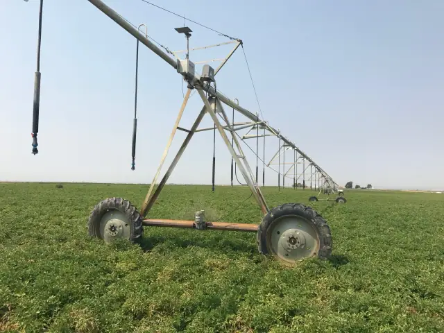
A center-pivot tower in an irrigated field, from the coalition’s 2017–2023 homepage.Oregon Water Coalition website, 2017–2023 (photographer not named). Archived page.
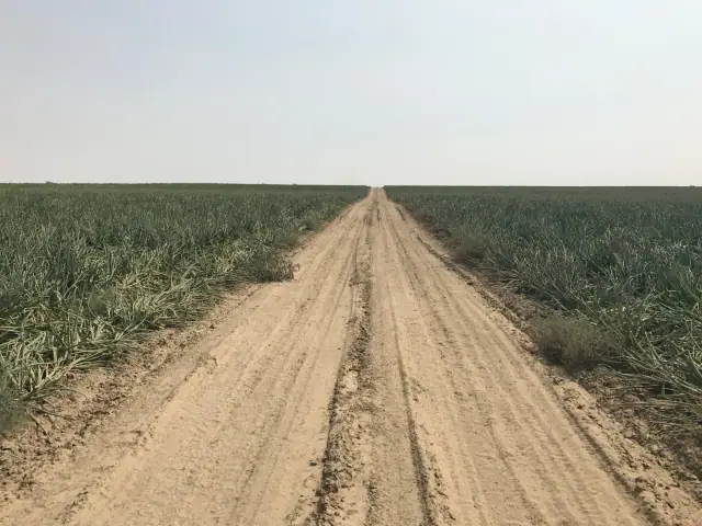
A farm road between irrigated fields, from the same homepage set.Oregon Water Coalition website, 2017–2023 (photographer not named). Archived page.
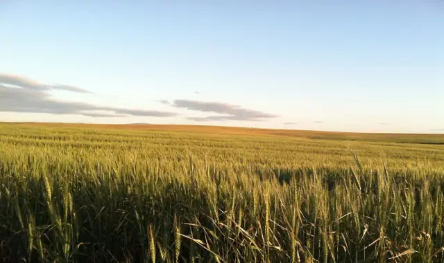
Wheat near harvest, from the coalition’s 2017–2023 site.Oregon Water Coalition website, 2017–2023 (photographer not named). Archived page.
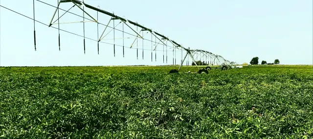
A pivot span over a green crop, from the coalition’s 2017–2023 site.Oregon Water Coalition website, 2017–2023 (photographer not named). Archived page.
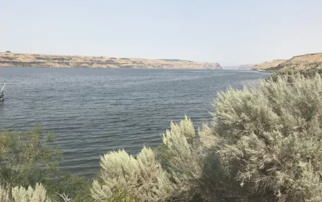
Sagebrush above the river, from the coalition’s 2017–2023 site.Oregon Water Coalition website, 2017–2023 (photographer not named). Archived page.
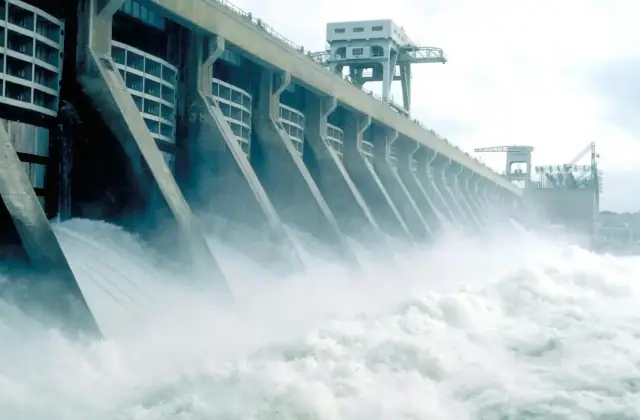
Water through the spillway at McNary Dam, as shown on the coalition’s “Who we are” page.Oregon Water Coalition website, 2017–2023 (photographer not named). Archived page.
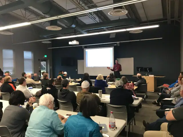
The coalition’s 2018 annual meeting, from its recap post.Oregon Water Coalition website, 2017–2023 (photographer not named). Archived page.
Public domain and Creative Commons
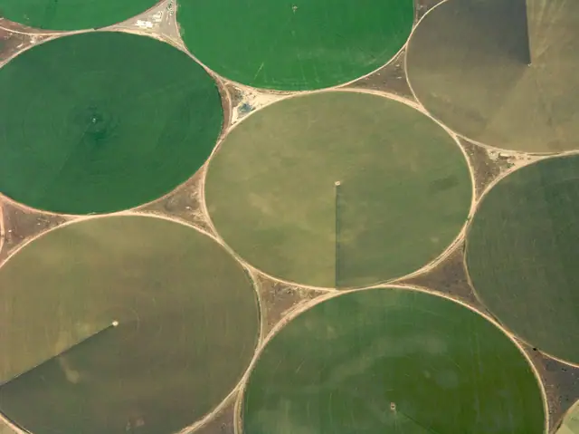
Center-pivot fields near Umatilla from the air, May 2008.Sam Beebe. CC BY 2.0. Source file.
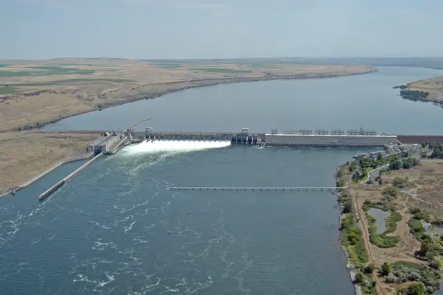
McNary Dam on the Columbia at Umatilla, August 2013.Bonneville Power Administration. CC BY 2.0. Source file.
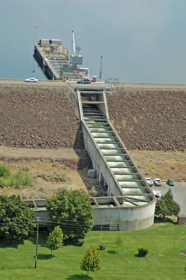
One of the fish ladders at McNary Dam, August 2013.Bonneville Power Administration. CC BY 2.0. Source file.
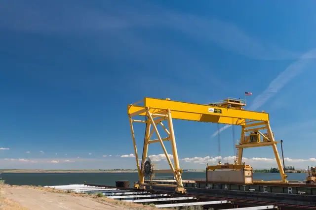
A shipping terminal on the Columbia near Boardman, June 2014.Gary Halvorson, Oregon State Archives. CC BY 4.0. Source file.
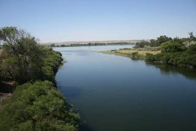
The mouth of the Umatilla River at the Columbia, Umatilla, July 2013.Williamborg. CC BY-SA 3.0. Source file.
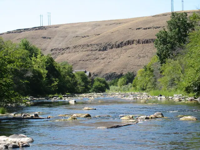
The Umatilla River at the east end of the River Parkway, Pendleton, July 2005.Bobjgalindo. CC BY-SA 4.0. Source file.
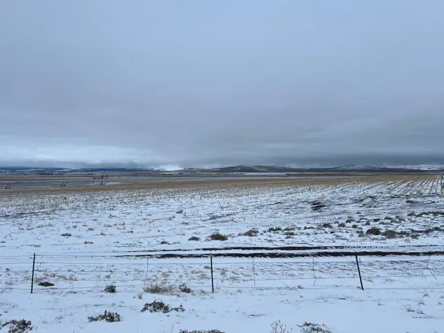
Light snow on farmland, Blue Mountains on the skyline, seen from the Charles Reynolds Rest Area on I-84, December 2024.PinchyCC. CC BY 4.0. Source file.
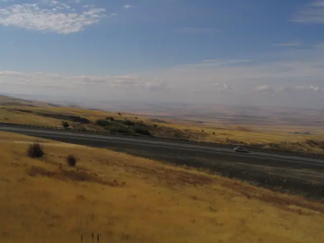
Interstate 84 between the Blue Mountains and Pendleton, October 2006.Ken Lund. CC BY-SA 2.0. Source file.
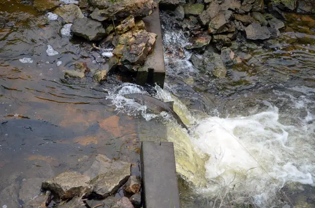
A Chinook salmon jumping upstream.Joanna Gilkeson, U.S. Fish and Wildlife Service. Public domain. Source file.
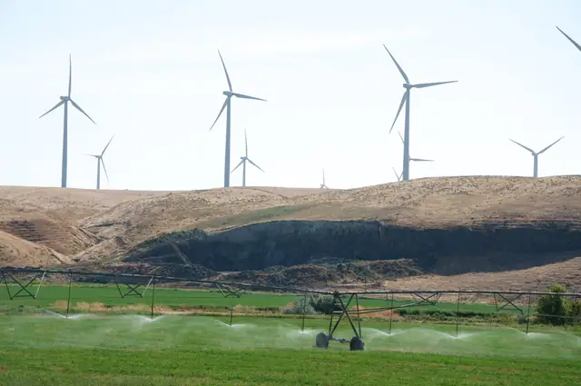
Wind turbines on the ridge above sprinkler irrigation, August 2009.Sam Beebe / Ecotrust. CC BY-SA 3.0. Source file.
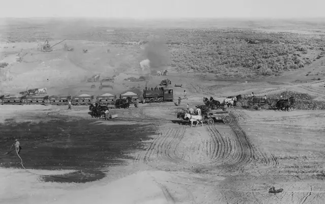
“Inside view of Cold Springs reservoir”: crews at work on the federal Umatilla reclamation project, early 1900s.National Archives and Records Administration (NAID 531563). Public domain. Source file.
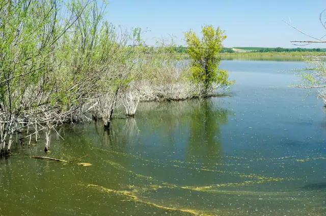
Cold Springs Reservoir National Wildlife Refuge, east of Hermiston, May 2012.Gary Halvorson, Oregon State Archives. CC BY 4.0. Source file.
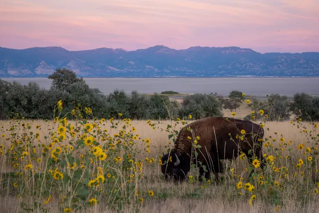
A bison on Antelope Island, with the Great Salt Lake and the Wasatch Front beyond, September 2019.Matthew Dillon. CC BY 2.0. Source file.
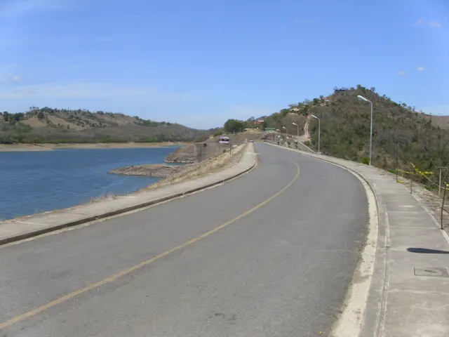
The road across Tavera Dam on the Yaque del Norte, above Santiago, Dominican Republic, April 2014.Jos1950. CC BY-SA 4.0. Source file.
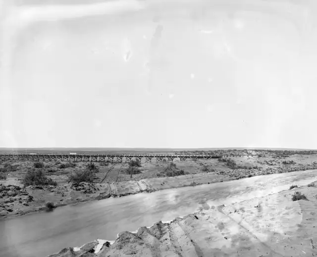
Irrigation dam, flume and spillways on the Umatilla River near Pendleton, 1900–1910.Lee Moorhouse; University of Oregon Libraries (PH036), via DPLA. Public domain. Source file.
Images were resized and converted to WebP; some were cropped. Typefaces: Newsreader and Public Sans, both under the SIL Open Font License.